
As-built · San Germán
World Athletics certified track
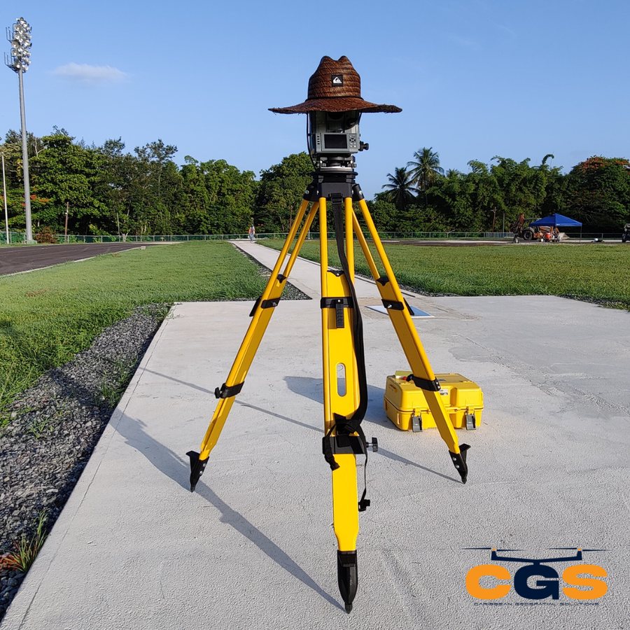
As-built and topographic survey of the Interamericana University athletic track, supporting its World Athletics certification.

Topographic, as-built, ALTA/NSPS and construction layout surveys, combined with drone mapping and LiDAR, delivered fast and ready for your design team.
Call (787) 262-6262 · Se habla español
From the first site visit to the final as-built, we capture the data your engineers, contractors and lenders need.
Drone photogrammetry and LiDAR for large or hard-to-reach sites, with less time in the field.
You get: orthomosaics, DTM/DSM, point clouds, contours
Elevations, contours, structures and utilities, mapped for design, permitting and OGPe submittals.
You get: topographic plan in DWG and PDF
An accurate record of what was actually built, with deviations from design clearly identified.
You get: as-built plans in DWG and PDF
Control, staking and cut/fill guidance so foundations, utilities and roads go exactly where designed.
You get: staking, control points, field reports
Boundaries, easements, improvements and encroachments to national standards, with Table A items as needed.
You get: certified ALTA/NSPS survey
Boundary retracement studies, mensuras and segregations for owners, attorneys and developers.
You get: certified plan and report
GNSS, total stations, laser scanners and drones on real CGS sites across Puerto Rico.
Send the location, cadastral number or plans and what you need the survey for.
A written proposal with deliverables, schedule and price. No surprises.
GNSS, total station, laser scanner and drone crews collect the data on the agreed date.
Signed plans in PDF plus DWG files your team can design on right away.
Caribbean Geospatial Solutions is a Puerto Rico surveying and geospatial firm based in Hatillo. Our land surveyors, licensed in Puerto Rico and the U.S. Virgin Islands, FAA Part 107 licensed remote pilots and field crews combine traditional surveying with GNSS, laser scanning and drone technology, and we own every project from first visit to final signature.
We serve engineers, architects, contractors, municipalities, government agencies, lenders and property owners across the island.
Share the location and what you need. We'll reply with scope, schedule and price.

